


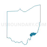
BEVERLY Voting District, Washington County, Ohio
About
Outline

Summary
| Unique Area Identifier | 653176 |
| Name | BEVERLY Voting District |
| County | Washington County |
| State | Ohio |
| Area (square miles) | 0.79 |
| Land Area (square miles) | 0.68 |
| Water Area (square miles) | 0.11 |
| % of Land Area | 86.01 |
| % of Water Area | 13.99 |
| Latitude of the Internal Point | 39.54996940 |
| Longtitude of the Internal Point | -81.63584400 |
Maps


Graphs
Select a template below for downloading or customizing gragh for BEVERLY Voting District, Washington County, Ohio


Neighbors
Neighoring Voting District (by Name) Neighboring Voting District on the Map
- WATERFORD A Voting District, Washington County, OH
- WATERFORD B Voting District, Washington County, OH